Harbinger from Canada
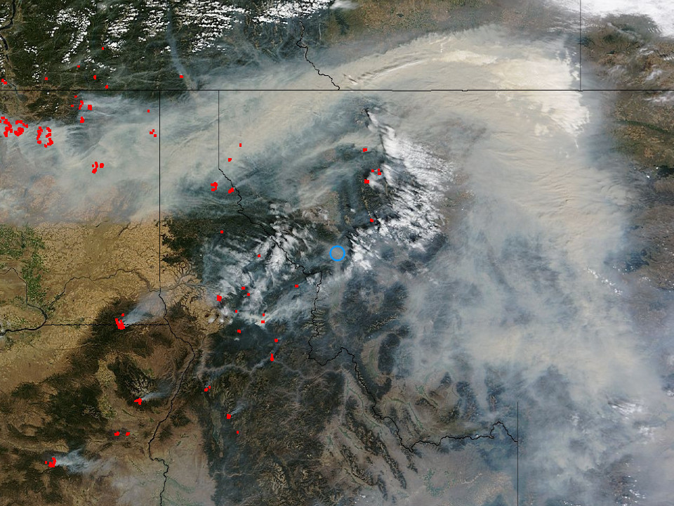
As the western part of the United States enters into desiccated autumn, we’re told that the official fire season has begun. In fact, fire season now begins nearly as soon as our shrunken snowpack melts. Once the native and invasive species of plants dries, we’re vulnerable to lightning strikes. Yet lightning causes only 10-20% of our wildfires. The other 80-90%? Human caused.
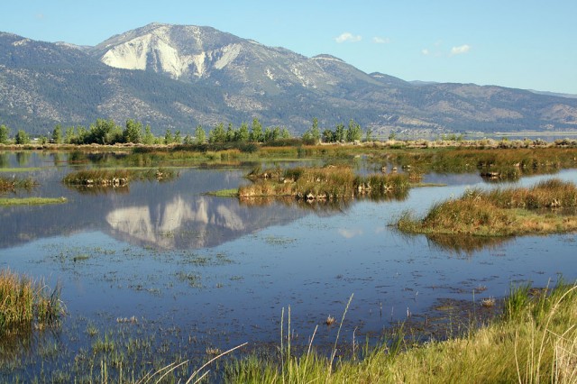
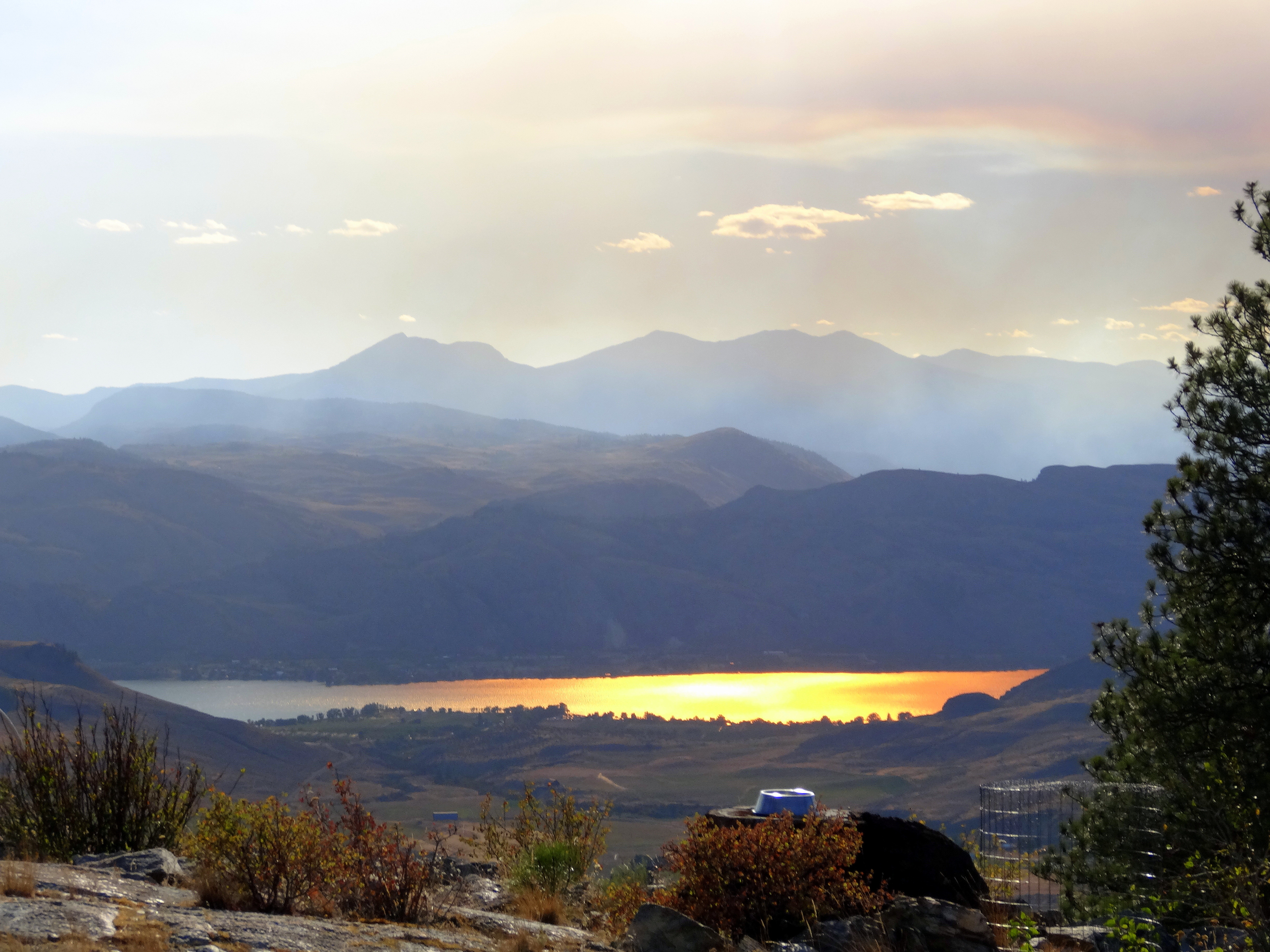
Slide Mountain near Washoe Valley
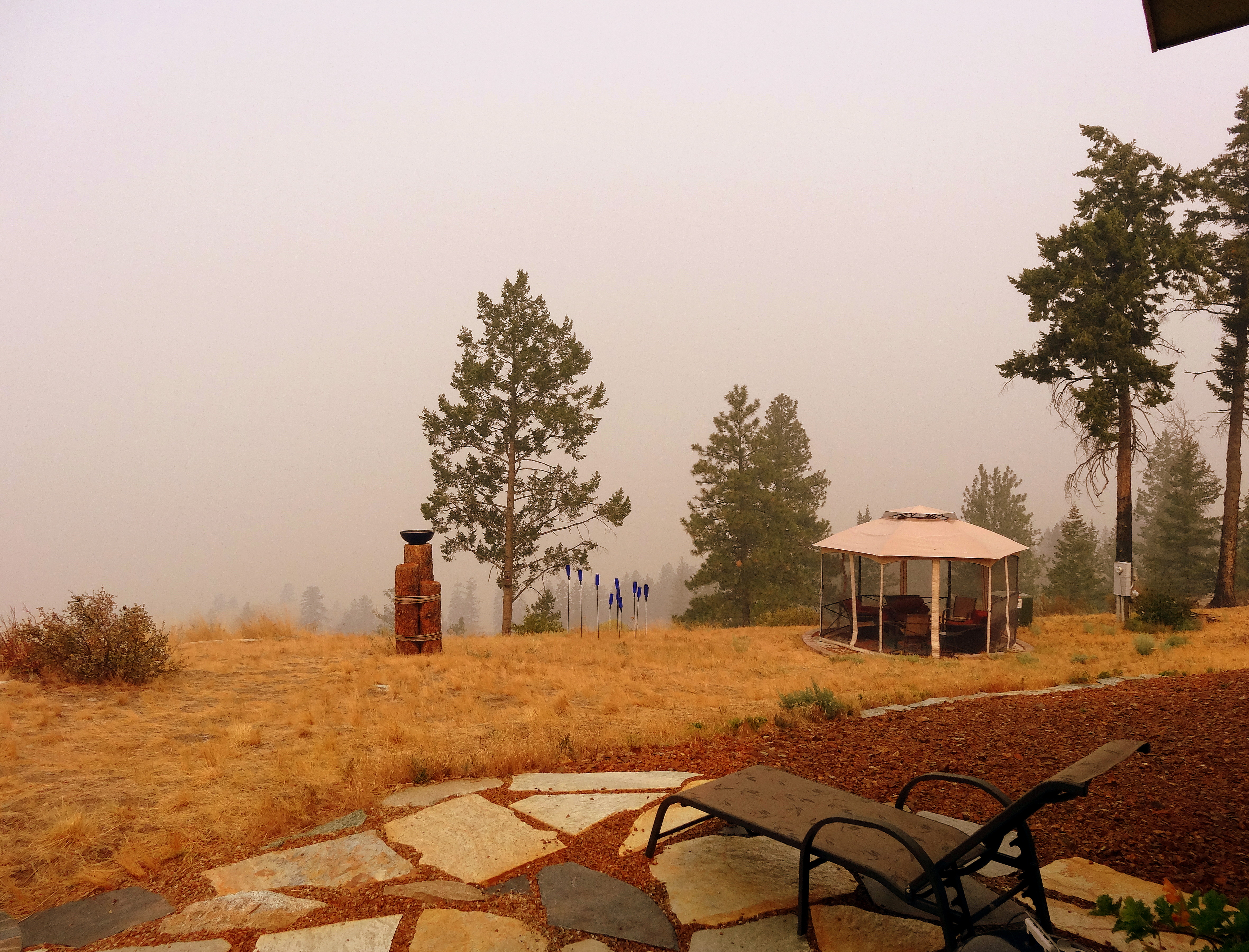
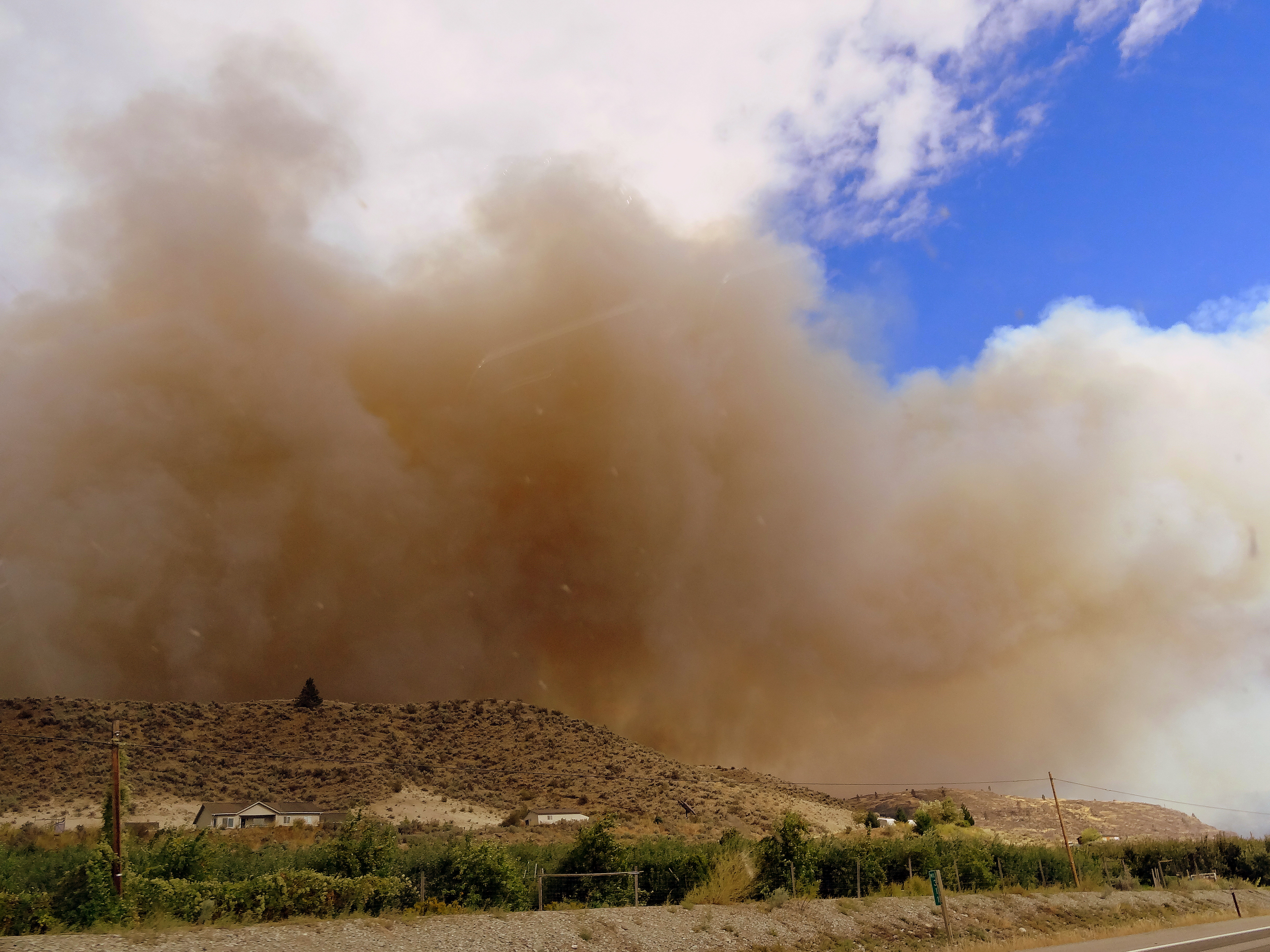
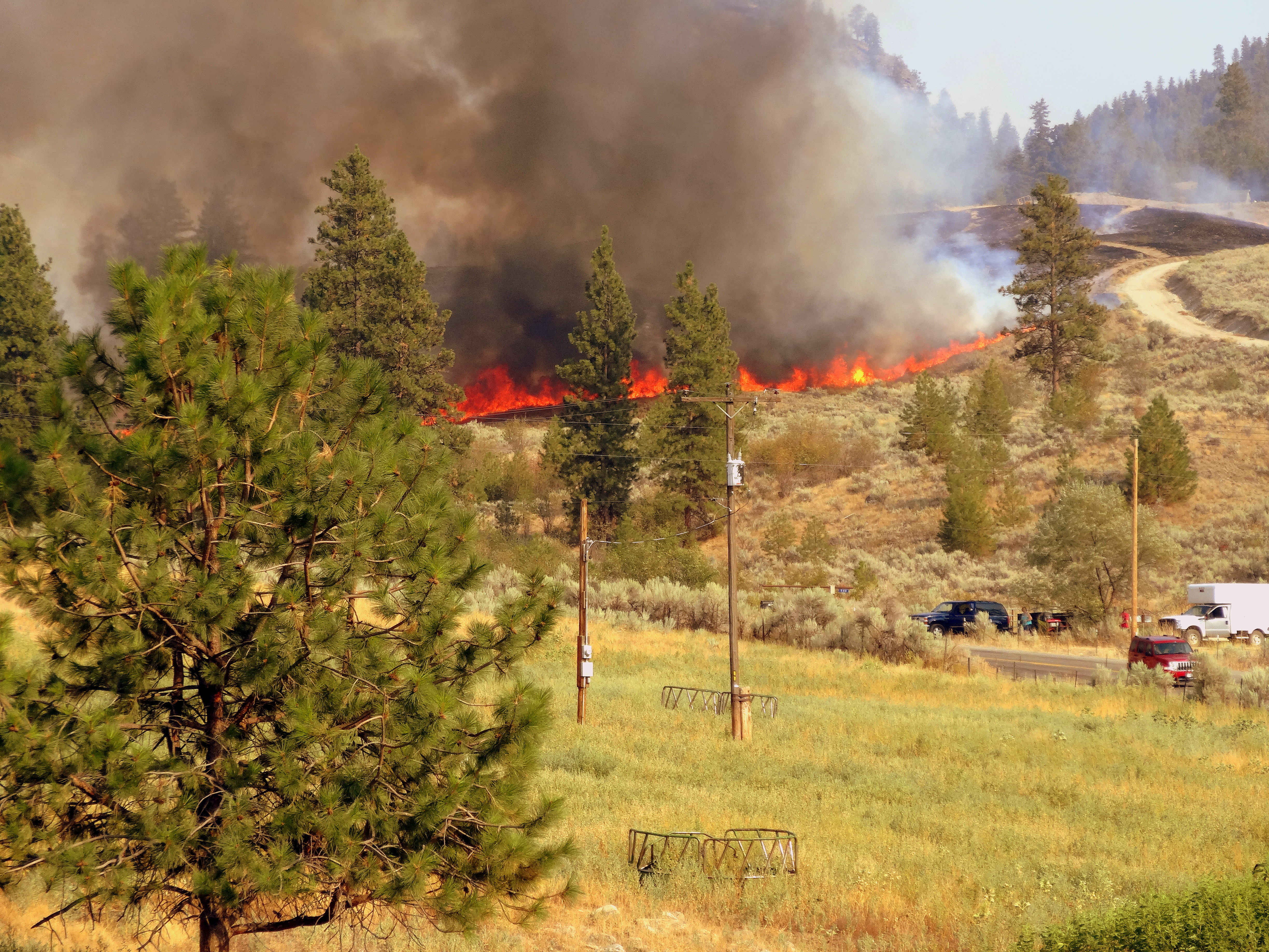
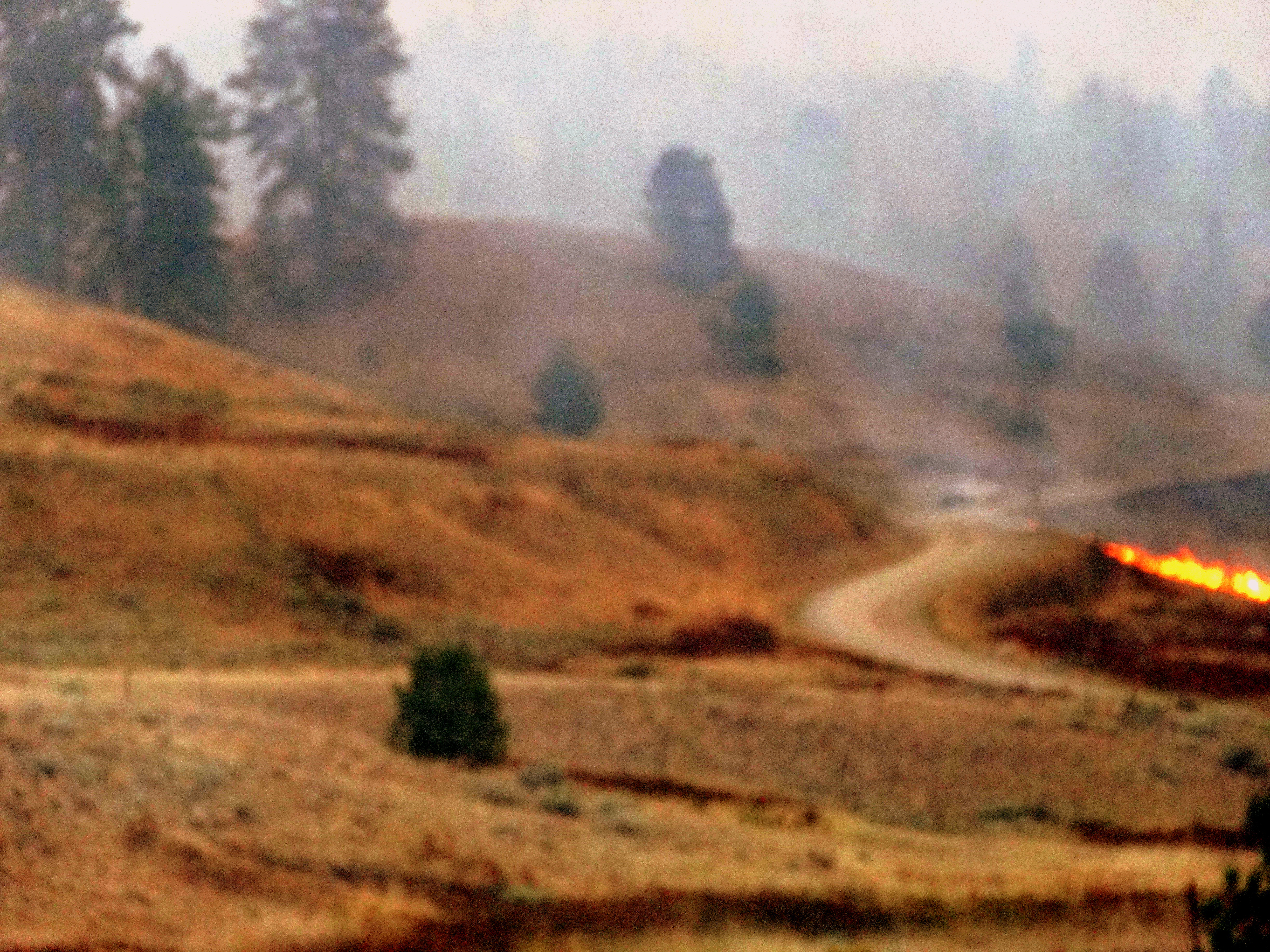
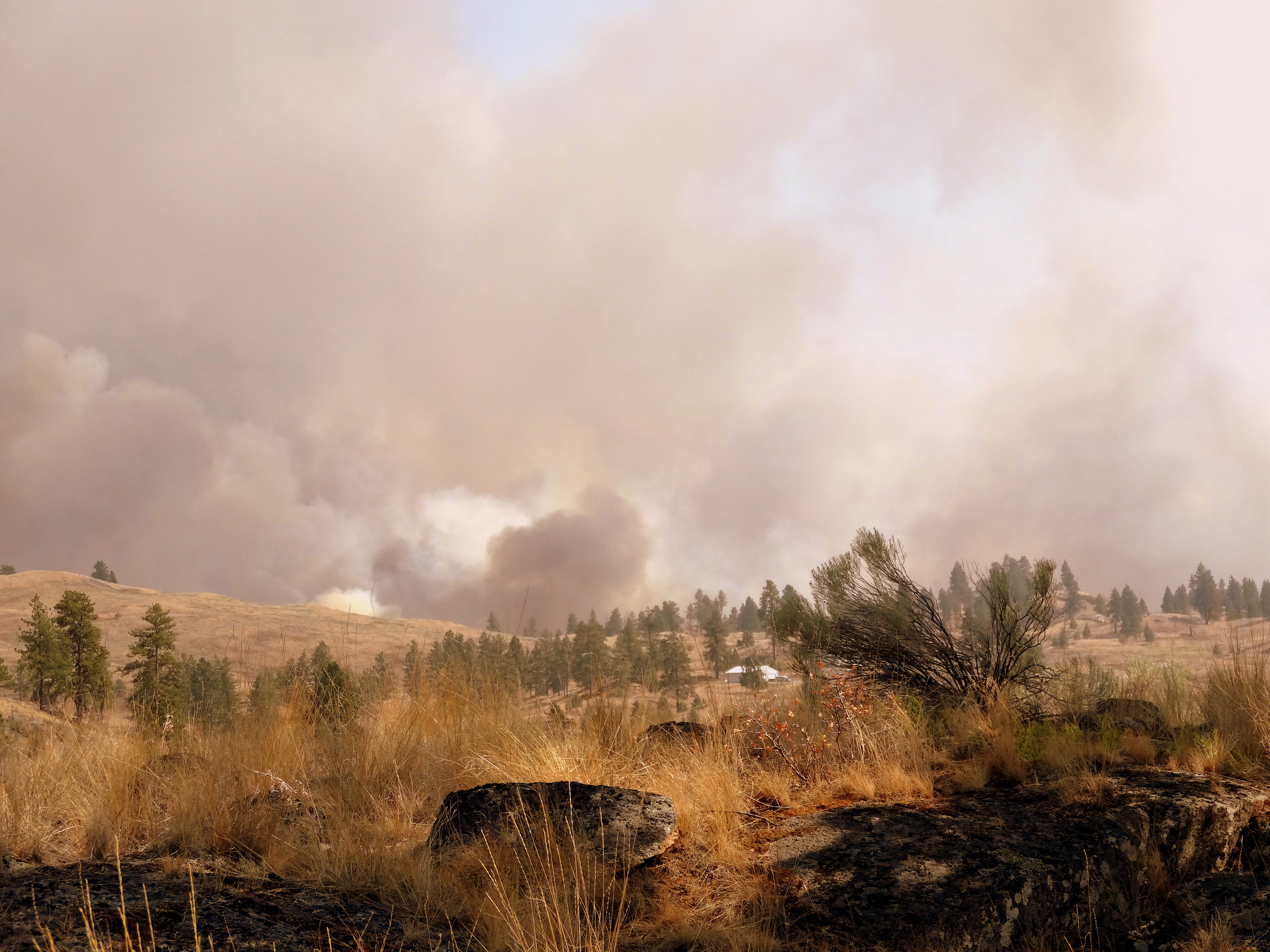
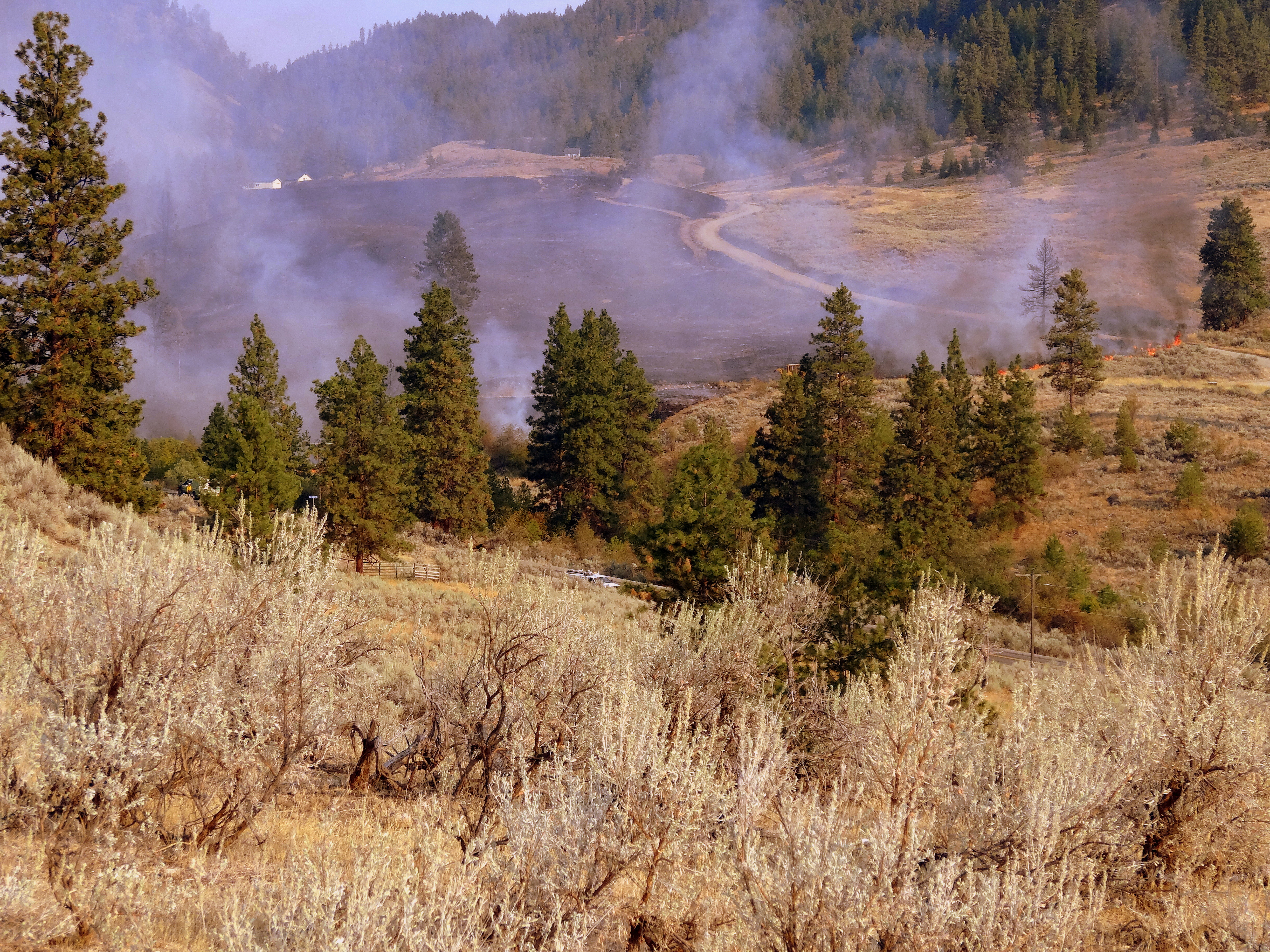
In the high Sierra Nevada Mountain range, where I spent my formative years, snowpack has declined for decades—more precipitously as we blow past the latest tipping points. That means wildfires in winter and early spring—the new normal. This aspect of climate change affects the western side of our continent from Alaska to Bolivia, excluding only the more tropical regions. For Okanogan County in Washington State, our wildfires began in late May this year with smoke plumes as harbingers.
Wildland wildfire in Nevada
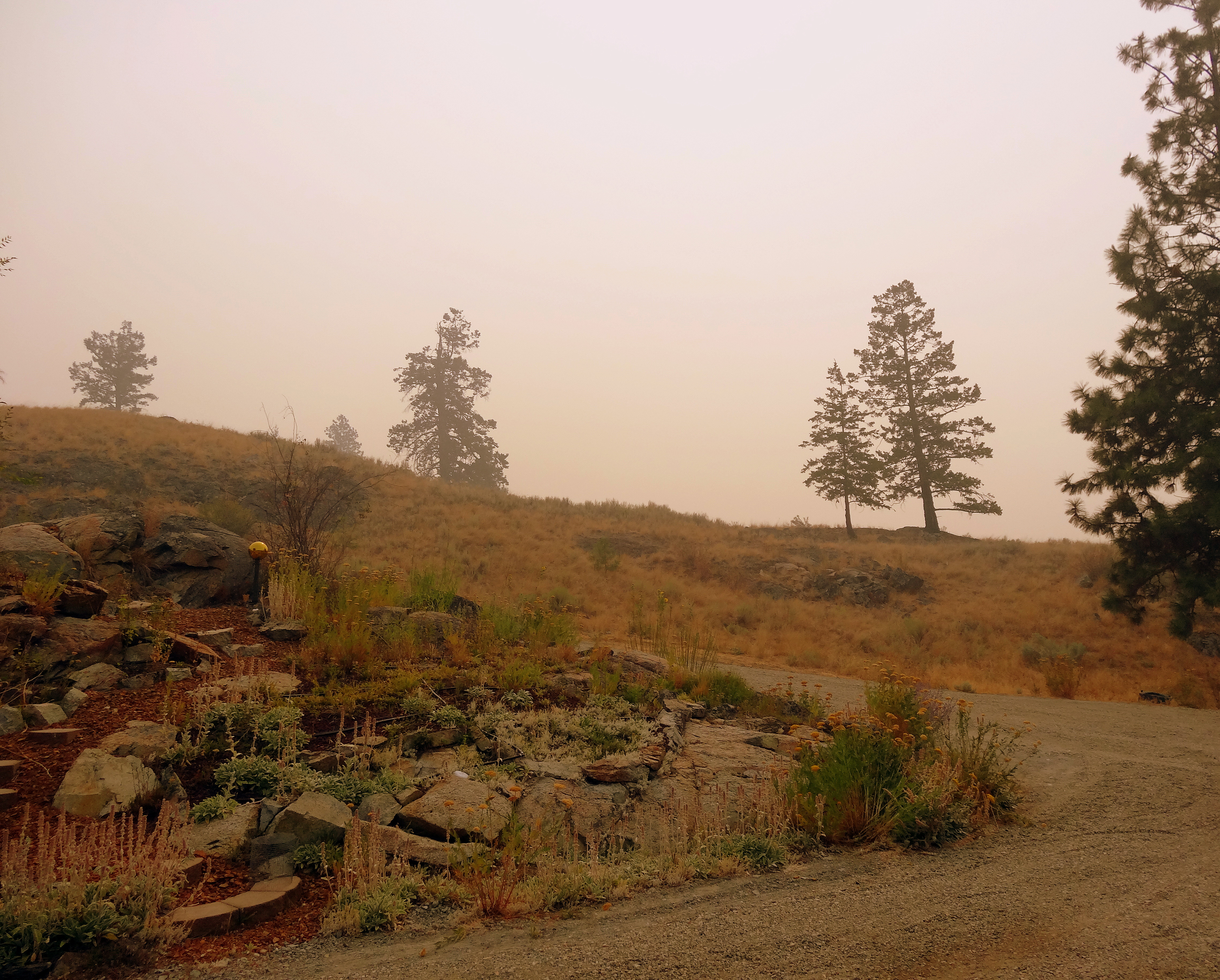
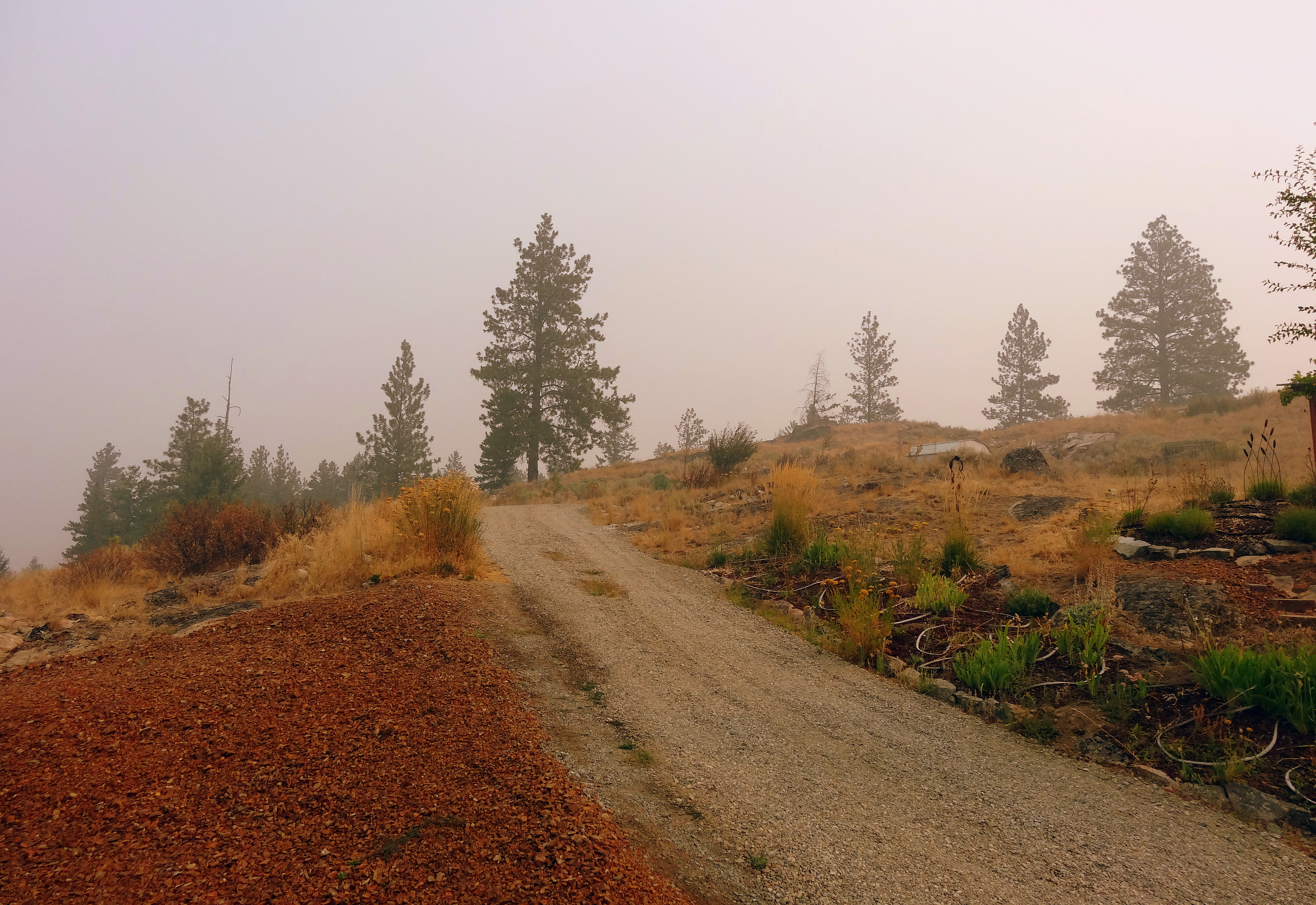
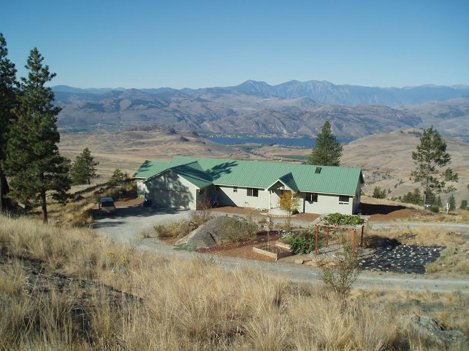
Over a decade ago when we first moved here, Intrepid Guy, who grew up in Spokane, Washington, and I committed to fire proofing our home and property. We wanted no soft-bodied firefighter to stand between an inferno and our house. Our house perches where sagebrush steppe meets Ponderosa pine communities, landscapes that normally thrive with periodic fires. However, lowering water tables, beetle infestations, and fire suppression have reduced these communities’ resistance to wildfire damage. Here are the choices we made:
- Fire-resistant fiber-cement siding (Hardy Board);
- Metal roofing;
- Lava rock mulch out 10 feet plus from the foundation;
- Rock based circular driveway;
- Islands of native and drought-resistant plantings with rock mulch and drip system hydration;
- Native grasses and brush cut back at least 40 feet;
- Lower branches of our Ponderosas and Douglas fir removed;
- Predominantly metal structures versus wooden within 50 feet of the house; and,
- Buried 1,750 gallon tank, topped off and better than spitting on a fire.
Firewise living
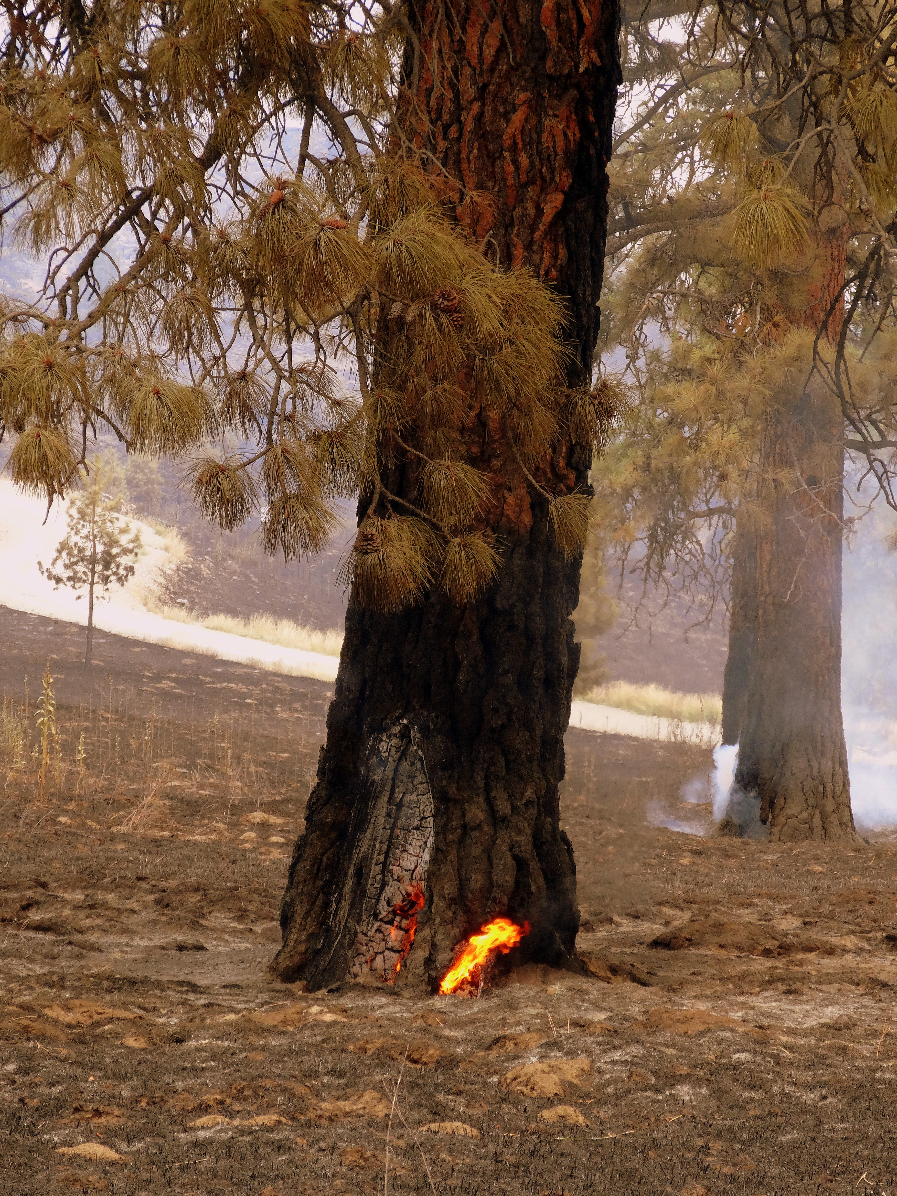
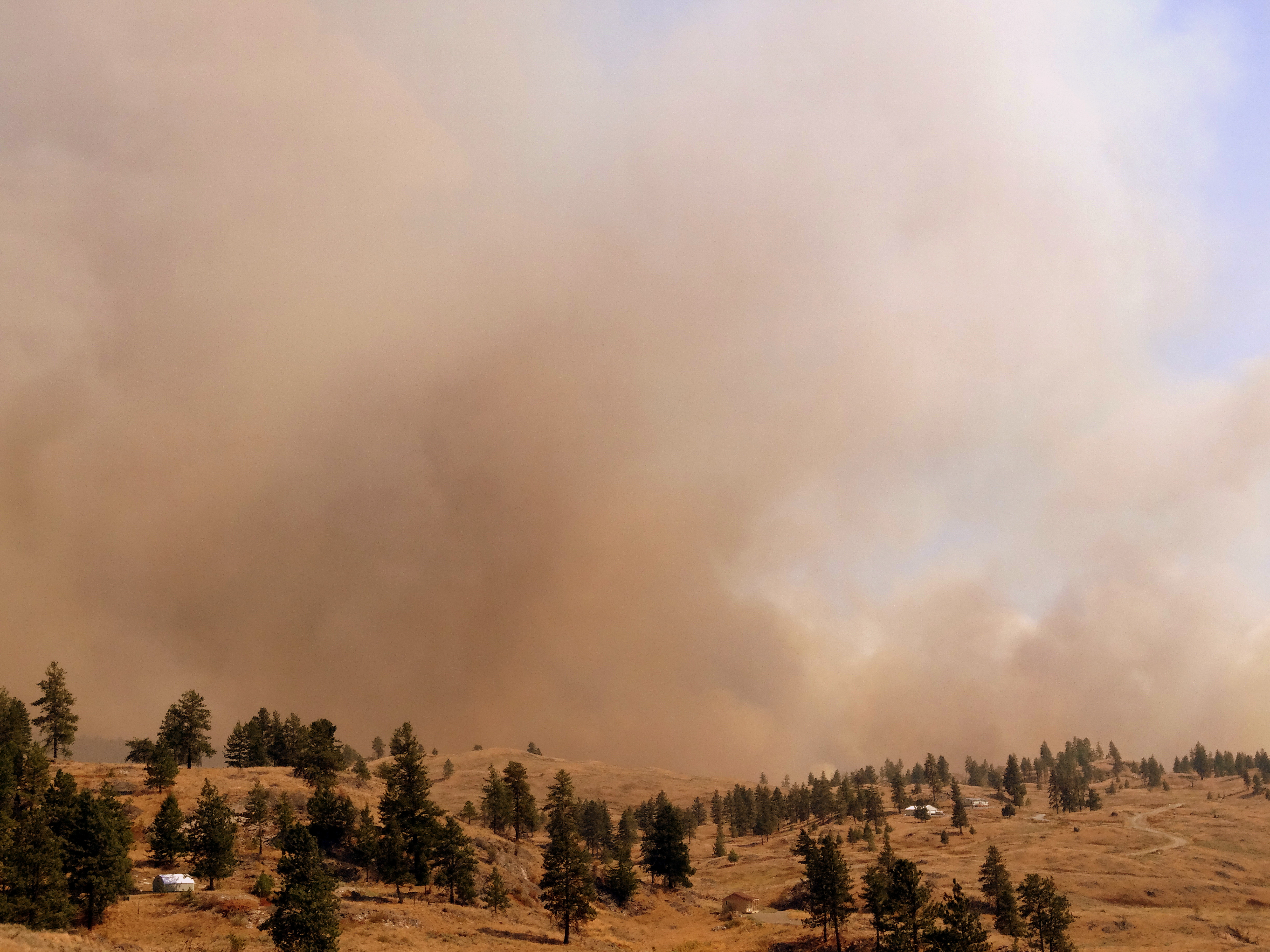
When the first wildfire threatened our home on July 4th seven years ago, it started within a quarter mile—bordering the steep slope leading to our home. Not good. Fire devours landscape uphill in its quest for oxygen.
Exemplary Department of Natural Resources (DNR) crews along with local volunteer departments aided by water and fire-retardant air drops limited this human caused wildfire to nine acres of non-fireproofed landscape. Trees crowned, wildlife fled or died, and I baked muffins, although not well, while brewing iced tea for the crews. The DNR incident manager designated our home as a safe house for sheltering firefighters. When we were told to evacuate, we did. We pay hefty fire insurance fees, keep important papers in a safe deposit box, and again, don’t choose to have a person stand between us and fire.
Flames through the trees
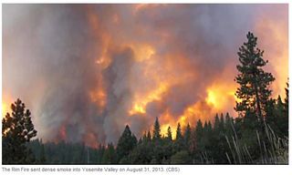
With this season’s injuries and deaths of Forest Service firefighters, the loss of 7 million acres—and counting—in the western United States, we all need to assess our part in these disasters. Beyond addressing human caused climate change, what else can we do to minimize the destructive force of wildfire?
When the fire bear comes over the mountain
When wildfire eats toward us, we take what’s most important: the living critters we’re responsible for and each other. The house and landscape? That’s just stuff.

What matters most